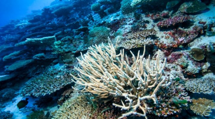
The Maldives is being used as a pilot site for a climate-data framework designed to show how changes in temperature, rainfall, sea level and ocean conditions affect reefs, mangroves, coastal vegetation and other ecosystems.
The initiative forms part of Work Package 3 of iClimateAction, a European Union-supported project jointly managed by the World Meteorological Organization, the Global Climate Observing System and the Group on Earth Observations.







The project seeks to address a longstanding gap between the collection of climate information and its use in national planning. While global monitoring systems produce extensive environmental data, differences in standards, resolution and institutional responsibilities can prevent that information from being applied effectively to local decisions.
In the Maldives, the work is being connected with the country’s first national ecosystem map, which has been under development since 2024 through the Global Ecosystems Atlas National Mapping Accelerator programme.
The mapping programme is being implemented by the Group on Earth Observations and the Ministry of Tourism and Environment, with support from the United Kingdom’s Department for Environment, Food and Rural Affairs. It also builds on ecosystem mapping undertaken by the International Union for Conservation of Nature in 2019.
The Maldives was selected for the iClimateAction demonstrator because this national mapping work provided an existing platform through which climate information could be tested against detailed ecosystem data.
The technical framework is being developed through an agreement between the Group on Earth Observations and the United Nations University Institute for Environment and Human Security. It aims to connect Essential Climate Variables, such as temperature, rainfall and sea level, with the International Union for Conservation of Nature’s system for classifying ecosystems.
Combining the two systems could allow authorities to assess how specific climate pressures affect different ecosystems, identify areas of greater vulnerability and determine where nature-based solutions could support resilience.
A key challenge identified during the work is the difference in scale between global climate datasets and the information required for island-level planning.
Climate variables are commonly observed or modelled at resolutions ranging from five to 50 kilometres. By comparison, the Maldives National Ecosystems Map classifies ecosystems at a resolution of approximately 10 metres.
This difference can limit the reliability of ecosystem indicators produced using global data. The issue is particularly relevant when authorities must make location-specific decisions, including whether development projects should proceed and where ecosystem restoration should be prioritised.
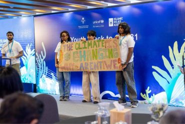
Representatives from the then Ministry of Climate Change, Environment and Energy, Environmental Regulatory Authority, Maldives Marine Research Institute, Maldives Meteorological Service and Maldives National University examined the framework during a related technical workshop.
The workshop tested how climate hazards, ecosystem conditions and the ability of ecosystems to adapt could be considered together. Mangroves in the northern atolls were used as a practical example to identify relevant climate variables, ecosystem indicators, available information and gaps requiring further study.
The project has also relied on field surveys to check whether classifications produced using satellite imagery reflect conditions across the islands.
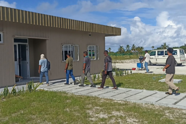
During a four-week field mission in September 2025, Maldivian specialists and international researchers surveyed dozens of islands and coastal locations. The teams recorded vegetation, soil and water conditions, ecosystem transitions and signs of disturbance before comparing their observations with satellite-based classifications.
Information collected during the mission is being used to revise the national ecosystem map. The latest version remains under technical review involving James Cook University, the Allen Institute for AI and the Ministry of Tourism and Environment.
Once validated, the map is expected to be connected with internationally recognised climate variables. This could provide government agencies with integrated information on ecosystem health, climate exposure and vulnerability for use in risk assessments and adaptation planning.
The work could also inform improvements to the Maldives’ domestic observation network, particularly where existing global datasets lack the level of detail required for individual islands, reefs or coastal areas.
The methodology being tested in the Maldives is intended to be transferable to other Small Island Developing States facing similar difficulties in connecting global climate observations with local ecosystem management.